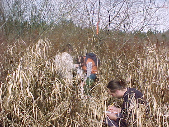
Aspen Madrone and Jim Stroh collect a sample in the wetland study site while Gavin Glore records information.
Wetland Piezometers
Aspen Madrone and Jim Stroh collect a sample in the wetland study site while
Gavin Glore records information.
This area south fo Evergreen Parkway was converted to agricultural use before becoming the property of The Evergreen State College. It is thought to have been a wetland before this conversion and still retains wetland charactaristics. Pacific Crab Apple, Oregon Ash, Douglas Fir, Western Red Cedar, and Willow trees can all be found here. There are pathches of sedge and canary grass. Most of the area is thick with underbrush such as Hardhack and Scotch broom, and the presence of these invasive non-native pioneer species suggests disturbance. Soil logs from the wetland area indicate the presence of Pre-Salmon Springs clay and the Kitsap Formation. The area is underlain by at least one confined aquifer. Soil logs suggest the presence of several perched aquifers.
The most comprehensive study on the wetlands site was a hydrological study done in the spring of 2000 by Eli Callison and Dan Smith. Piezometer wells were installed on transects placed at 100 foot intervals along the Evergreen Parkway. These wells were monitored regularly for water depth. Hydraulic conductivity of the aquifer was determined from a slug test. The most important results of their report were: Characterizing the groundwater as having a NE flow, minimal infiltration (due to confining layer) near the surface, and perched aquifer conditions. The study hypothesized that the wetlands may be a recharge area for the shop wells at the motor pool.
A study was also done to evaluate the feasibilty of a proposed wetland area in the southeastern corner of campus. This group made a GIS map of the proposed wetland site, including the locations of piezometers and vegetation types. They also digitized the area they deemed most suitable for wetland creation.
See where the wetland site is located by looking at this
handy map.
Would you like to see some photos
from sample sites in the wetland?
Back to Piezometers 2001 Homepage