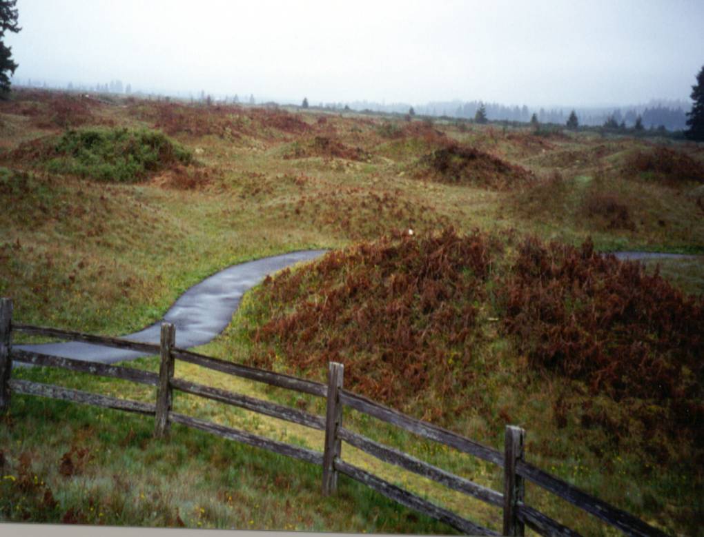
ABSTRACT - The hydrologic system of the Mima Mounds Prairie in Thurston County Washington is composed of a gently sloping outwash plain. Mima Mounds Prairie, a Puget Sound lowland, provides a large area with a high infiltration rate due to the porous, permeable soil and underlying gravel. This study determined the actual evapotranspiration using the Bowen ratio energy balance method. Data for the calculations of evapotranspiration were collected once every week from April 2001 through June 2001. The evapotranspiration rate from the grass-covered area for the months of April and May ranged from 3.4 to 23.7 millimeters per day.
|
Made by:
Donn Walter and Amy Bryant E-Mail: Waldon27@evergreen.edu |
| Weekly Photos | Introduction | Methods | Results & Conclusion | USGS Map | History & Myths | Flora |