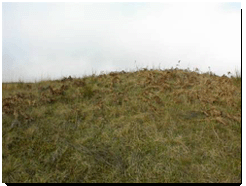
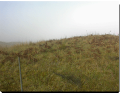
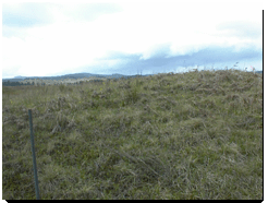
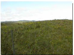
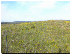
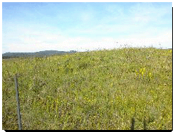
West View
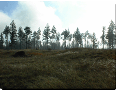
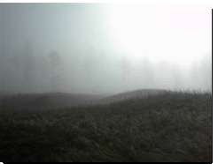
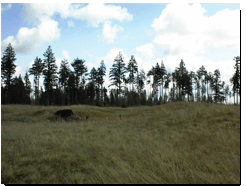
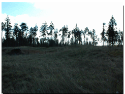
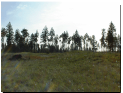
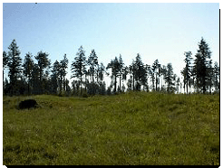
East View
Mima
Mounds of Thurston County
A Study of Evapotranspiration,Geologic History
& Myths
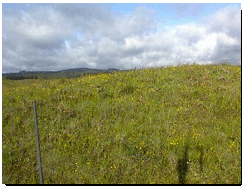
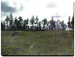
Photographs of the Mima Mounds Prairie were taken each week to document the growth of the canopy. In many cases, a canopy refers to the cover of trees. In this particular experiment, the canopy refers to the growth of the vegetation around the Bowen Ratio Instrumentation System.
|
West View
|
East View
|
|
|
|
| April 4, 2001 | |
|
|
|
| April 11, 2001 | |
|
|
|
| April 18, 2001 | |
|
|
|
| April 25, 2001 | |
|
|
|
| May 2, 2001 | |
|
|
|
| May 9, 2001 | |
|
|
|
| May 16, 2001 | |
|
|
|
| May 23, 2001 |